Skenes Creek Area Information
Get to know your area better as you plan for a bushfire emergency.
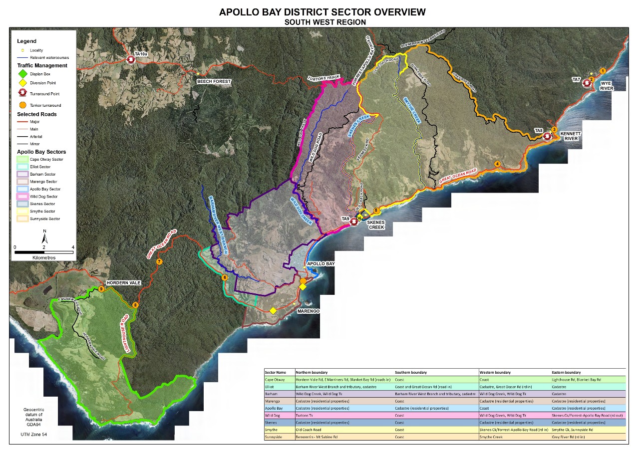
Overview Map
The Skenes Creek area is located adjacent to Apollo Bay in south-west Victoria and includes the sectors of Sunnyside Rd, Smythes Creek and Wild Dog Rd. Marengo is seperated from Apollo Bay by 5.6kms of farmland and flanked by the steep and heavily timbered Great Otway National Park. The Otway Ranges pose a significant bushfire risk as the narrow coastal Great Ocean Road is the only exit route which isn’t through heavy bushland.

Fire in Skenes Creek
What could a fire event in Skenes Creek look like? Let Jamie Mackenzie talk you through one of many scenarios, so you can have a better idea of what might happen.
Jamie Mackenzie AFSM worked as a Senior Instructor, Leadership Development, with the Victorian Country Fire Authority (CFA) and he previously worked with the Department of Environment, Land, Water and Planning (DELWP). As such, he has over 35 years’ experience in operational roles for bushfire and emergency response.
Jamie introduced Fireline Leadership and Incident Leadership training to Victorian and Australian emergency agencies in 2005 and has been involved in the design and implementation of training programs to build leadership, incident management and hazard management capabilities for emergency services personnel, industry and community members.
Jamie currently collaborates with a range of emergency response agencies, industry and communities, focusing on leadership and resilience projects.
Indigenous Map

The Aboriginal Heritage Act 2006 requires all Victorians to protect and conserve Aboriginal cultural heritage.
Information about the cultural significance of a location can be obtained by the relevant permitting authority, such as local government, Parks Victoria or the Department of Sustainability and Environment. Advice should also be sought from the relevant Registered Aboriginal Party (RAP), an organisation legally responsible for managing and protecting Aboriginal cultural heritage for a given area in Victoria.
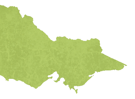
The Indigenous Map shows the various RAPs in Victoria. You can contact the RAP directly or the Victorian Aboriginal Heritage Council for further information.
