Cape Otway Area Information
Get to know your area better as you plan for a bushfire emergency.
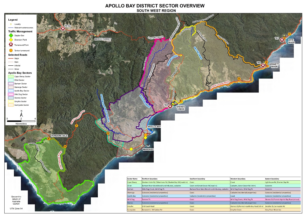
Overview Map
The Cape Otway area flanked by the steep and heavily timbered Great Otway National Park. The Otway Ranges pose a significant bushfire risk as the narrow coastal Great Ocean Road is the only exit route which isn’t through heavy bushland.

Indigenous Map

The Aboriginal Heritage Act 2006 requires all Victorians to protect and conserve Aboriginal cultural heritage.
Information about the cultural significance of a location can be obtained by the relevant permitting authority, such as local government, Parks Victoria or the Department of Sustainability and Environment. Advice should also be sought from the relevant Registered Aboriginal Party (RAP), an organisation legally responsible for managing and protecting Aboriginal cultural heritage for a given area in Victoria.
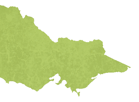
The Indigenous Map shows the various RAPs in Victoria. You can contact the RAP directly or the Victorian Aboriginal Heritage Council for further information.
